
Ladawan:Antarctica blank.svg

Size of this PNG preview of this SVG file: 600 × 600 na pixel. Ibang mga resolusyon: 240 × 240 na pixel | 480 × 480 na pixel | 768 × 768 na pixel | 1,024 × 1,024 na pixel | 2,048 × 2,048 na pixel | 804 × 804 na pixel.
Orihinal na file (SVG na file, nominal na 804 × 804 (na) pixel, pakadakula: 39 KB)
Sumaryo
This W3C-unspecified vector image was created with Inkscape .
| Pagladawan |
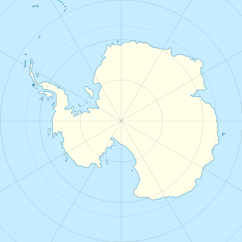
English: Blank map of Antarctica.
Français : Carte nue de l'Antarctique. La latitude au centre de chaque bord est -60. Donc le pôle est centré. |
| Petsa | |
| Pinagkunan | Image:Antarctica_research_station.gif + Image:Blank suedpolarregion.png |
| Kagsurat | STyx |
| Other versions | Map with territorial claims marked out, Antarctica blank 2.svg |
Paglisensya
I, the copyright holder of this work, hereby publish it under the following licenses:

|
Tinutugutan an pagkopya, pagpanao, asin/o pagbago sa dokumentong ini sa irarom kan mga termino kan GNU Free Documentation License, Bersyon 1.2 o dawa anong mas bagong bersyon na naipublikar kan Free Software Foundation; na mayong paburubagong seksyon, mayong teksto sa front-cover, asin walang teksto sa back-cover. Igwang nakalaag na kopya kan lisensya sa seksyon na may titulong GNU Free Documentation License. |
This file is licensed under the Creative Commons Attribution 3.0 Unported license.
- Talingkas mo ining:
- maihiras – makokopya, maipapanao, asin maipapahiling an gibo
- i-remix – ma-adapt an gibo
- Sa irarom kan mga kondisyon na ini:
- atribusyon – Dapat mong i-credit, itao an link kan lisensya, at itukdo kun may binago ini. Pwede mo ining gibuhon sa dawa anong rasonableng paagi, pero bako sa paaging ineendorso ka o an paggamit mo kan naglisensya.
Pwede kang makapili nin lisensya mo.
Kasaysayan kan file
Pinduton an sarong petsa/oras para mahiling ng file sa puntong idto.
| Petsa/Oras | Thumbnail | Sukol | Paragamit | Komento | |
|---|---|---|---|---|---|
| presente | 11:45, 21 Disyembre 2009 | | 804 × 804 (39 KB) | Botev | Reverted to version as of 07:30, 14 October 2009 - we are using this image as a location map on pl wiki, don't simply change it like that. Upload a new image if you want. |
| 15:59, 17 Disyembre 2009 |  | 1,139 × 1,262 (43 KB) | NuclearVacuum | minor | |
| 15:57, 17 Disyembre 2009 |  | 1,139 × 1,262 (43 KB) | NuclearVacuum | made image larger to show the rest of the image | |
| 07:30, 14 Oktubre 2009 |  | 804 × 804 (39 KB) | Entlinkt | Just slightly changed colours to those given at File:Maps_template-fr.svg | |
| 01:43, 11 Marso 2008 |  | 804 × 804 (39 KB) | STyx | ||
| 00:43, 11 Marso 2008 |  | 804 × 804 (30 KB) | STyx | == Summary == {{Created with Inkscape}} {{Information |Description= *{{en}} Blank map of Antarctica. *{{fr}} Carte nue de l'Antarctique. La latitude au centre de chaque bord est -60. Donc le pôle est centré. |Source=[[:Image:Antarctica_research_station. |
Paggamit sa file
Mayong pahinang naggagamit sa file na ini.
Pankinaban na paggamit sa file
Ginagamit kan mga minasunod na wiki an file na ini:
- Paggamit sa de.wikipedia.org
- Paggamit sa en.wikipedia.org
- Paggamit sa es.wikipedia.org
- Paggamit sa fr.wikipedia.org
- Paggamit sa hy.wikipedia.org
- Paggamit sa zh.wikipedia.org