
Ladawan:Chad adm location map.svg

Orihinal na file (SVG na file, nominal na 899 × 1,349 (na) pixel, pakadakula: 215 KB)
Sumaryo
| Pagladawan |
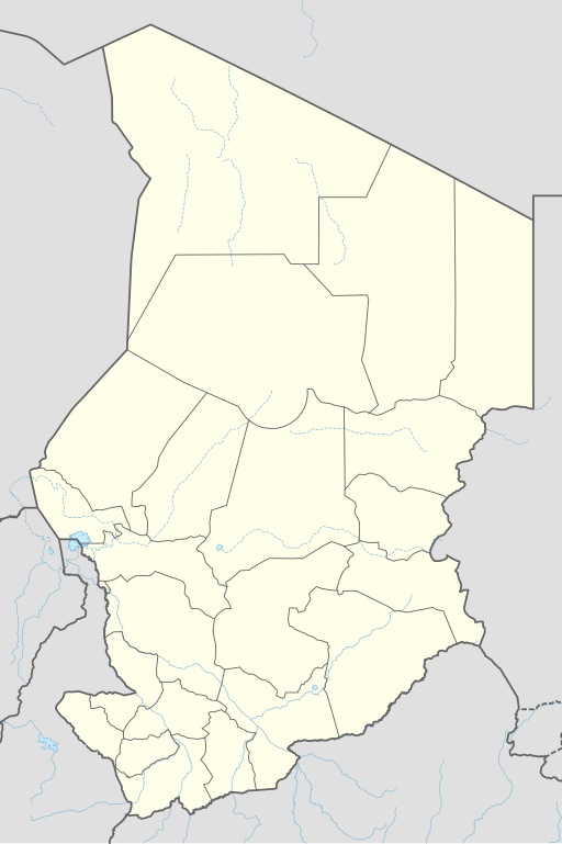
Deutsch: Positionskarte von Tschad
English: Location map of Chad
|
||||||||||||
| Petsa | |||||||||||||
| Pinagkunan |
Own work using: |
||||||||||||
| Kagsurat | NordNordWest | ||||||||||||

|
This map has been made or improved in the German Kartenwerkstatt (Map Lab). You can propose maps to improve as well.
|
Paglisensya
Usage of this file with:

explanatory notes: Legally binding is only the full legalcode. For a free usage I recommend to respect the following licence conditions:
1. Provide my name as given above: NordNordWest,
2. a copy of, or the URI for, the applicable license: https://creativecommons.org/licenses/by-sa/3.0/de/legalcode,
3. the title of the work,
4. in the case of an adaptation, a credit identifying the use of the work in the adaptation.
This license and the rights granted hereunder will terminate automatically upon any breach by you of the terms of this license. Any of the above conditions can be waived if you get permission from the copyright holder. If you have questions or wish differing conditions, please contact me through nnwest or my discussion page ![]() t-online.de
t-online.de
- Talingkas mo ining:
- maihiras – makokopya, maipapanao, asin maipapahiling an gibo
- i-remix – ma-adapt an gibo
- Sa irarom kan mga kondisyon na ini:
- atribusyon – Dapat mong i-credit, itao an link kan lisensya, at itukdo kun may binago ini. Pwede mo ining gibuhon sa dawa anong rasonableng paagi, pero bako sa paaging ineendorso ka o an paggamit mo kan naglisensya.
- share alike – Kun ire-remix mo, babaguhon, o madagdag sa materyal, kaipuhan mong ipanao an mga ambag mo sa irarom kan parehas o katulad na lisensya.

Kasaysayan kan file
Pinduton an sarong petsa/oras para mahiling ng file sa puntong idto.
| Petsa/Oras | Thumbnail | Sukol | Paragamit | Komento | |
|---|---|---|---|---|---|
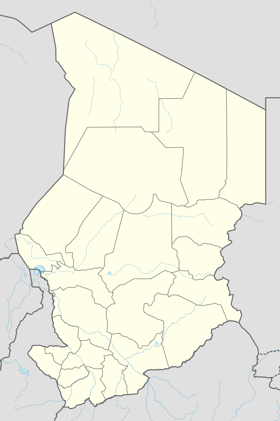
| presente | 19:46, 7 Disyembre 2021 | | 899 × 1,349 (215 KB) | NordNordWest | corr |
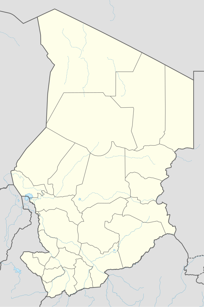
| 20:48, 30 Hunyo 2015 |  | 899 × 1,349 (228 KB) | NordNordWest | == {{int:filedesc}} == {{Information |Description= {{de|1=Positionskarte von Tschad}} {{en|1=Location map of Chad}} {{Location map series N |stretching=103,7149 |top=23.95 |bottom=6.95 |left=12.85 |right=24.6 }} |Source={{Own using}} * {{f|Chad locatio... |
Paggamit sa file
Ginagamit kan minasunod na 3 (na) pahina an file na ini:
Pankinaban na paggamit sa file
Ginagamit kan mga minasunod na wiki an file na ini:
- Paggamit sa af.wikipedia.org
- Paggamit sa an.wikipedia.org
- Paggamit sa ast.wikipedia.org
- Paggamit sa azb.wikipedia.org
- Paggamit sa bn.wikipedia.org
- Paggamit sa ca.wikipedia.org
- Paggamit sa de.wikipedia.org
- N’Djamena
- Abéché
- Sarh
- Doba (Tschad)
- Moundou
- Ati (Stadt)
- Mongo (Tschad)
- Ouara (Tschad)
- Mdaga
- Kélo
- Faya-Largeau
- Vorlage:Positionskarte Tschad
- Bol (Tschad)
- Fada (Tschad)
- Aorounga
- Benutzer Diskussion:SpesBona/Archiv
- Bardaï
- Massenya
- Benutzer:Zumthie/Kreise
- Massaguet
- Flughafen N’Djamena
- Léré (Tschad)
- Bongor
- Nationalpark Manda
- Am Timan
- Naturschutzgebiet Ouadi Rimé–Ouadi Achim
Hilingon an kadagdagan na pankinaban na paggamit sa file na ini.