
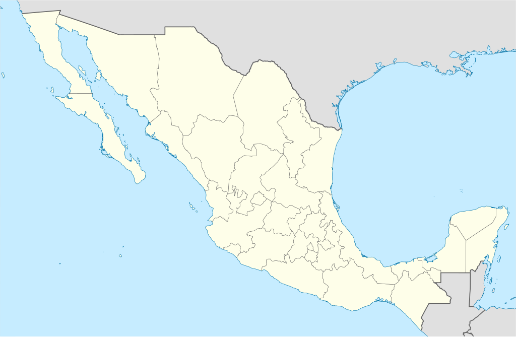
Ladawan:Mexico States blank map.svg

Size of this PNG preview of this SVG file: 800 × 523 na pixel. Ibang mga resolusyon: 320 × 209 na pixel | 640 × 418 na pixel | 1,024 × 669 na pixel | 1,280 × 837 na pixel | 2,560 × 1,673 na pixel | 2,029 × 1,326 na pixel.
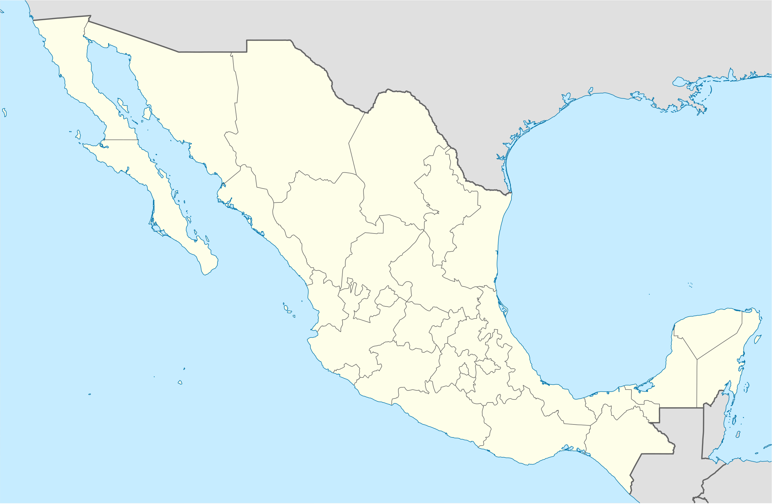
Orihinal na file (SVG na file, nominal na 2,029 × 1,326 (na) pixel, pakadakula: 473 KB)
Yolot hdz
Sumaryo
| Pagladawan | |
| Petsa | |
| Pinagkunan | Image:Mexico blank.svg by Yavidaxiu under licence GFDL. |
| Kagsurat | Sémhur |
| Other versions |
Derivative works of this file: |
| Camera location | | View this and other nearby images on: OpenStreetMap |
|---|
W3C-validity not checked.
This W3C-unspecified vector image was created with Inkscape .
Paglisensya
I, the copyright holder of this work, hereby publish it under the following licenses:
| Copyleft: This work of art is free; you can redistribute it and/or modify it according to terms of the Free Art License. You will find a specimen of this license on the Copyleft Attitude site as well as on other sites. |
This file is licensed under the Creative Commons Attribution-Share Alike 4.0 International, 3.0 Unported, 2.5 Generic, 2.0 Generic and 1.0 Generic license.
- Talingkas mo ining:
- maihiras – makokopya, maipapanao, asin maipapahiling an gibo
- i-remix – ma-adapt an gibo
- Sa irarom kan mga kondisyon na ini:
- atribusyon – Dapat mong i-credit, itao an link kan lisensya, at itukdo kun may binago ini. Pwede mo ining gibuhon sa dawa anong rasonableng paagi, pero bako sa paaging ineendorso ka o an paggamit mo kan naglisensya.
- share alike – Kun ire-remix mo, babaguhon, o madagdag sa materyal, kaipuhan mong ipanao an mga ambag mo sa irarom kan parehas o katulad na lisensya.
Pwede kang makapili nin lisensya mo.
Kasaysayan kan file
Pinduton an sarong petsa/oras para mahiling ng file sa puntong idto.
| Petsa/Oras | Thumbnail | Sukol | Paragamit | Komento | |
|---|---|---|---|---|---|
| presente | 15:41, 13 Agosto 2010 | | 2,029 × 1,326 (473 KB) | Kmusser | Try that again |
| 15:41, 13 Agosto 2010 |  | 975 × 654 (361 KB) | Kmusser | change projection to match that used at File:Mexico location map.svg so should be more accurate for pushpins, also reverted Yucatan boundary change to match Mexican government maps. | |
| 11:58, 25 Mayo 2009 |  | 975 × 654 (361 KB) | Sémhur | Modify border south between Quintana Roo and Campeche | |
| 08:31, 24 Mayo 2009 |  | 975 × 654 (361 KB) | Sémhur | Adding Yucatan states | |
| 12:57, 24 Setyembre 2008 |  | 975 × 654 (330 KB) | Sémhur | new try | |
| 12:40, 24 Setyembre 2008 |  | 975 × 654 (328 KB) | Sémhur | Thiner strokes | |
| 12:37, 24 Setyembre 2008 |  | 975 × 654 (328 KB) | Sémhur | {{Information |Description= {{en|Map of Mexico, with states borders.}} {{es|Mapa de Mexico, con los límites de los estados.}} {{fr|Carte du Mexique, avec les limites des états.}} |Source=Travail personnel / Own work. Source : * [[:Image:Mexico blank.sv |
Paggamit sa file
Ginagamit kan minasunod na pahina an file na ini:
Pankinaban na paggamit sa file
Ginagamit kan mga minasunod na wiki an file na ini:
- Paggamit sa af.wikipedia.org
- Paggamit sa am.wikipedia.org
- Paggamit sa ar.wikipedia.org
- Paggamit sa ast.wikipedia.org
- Paggamit sa azb.wikipedia.org
- Paggamit sa ban.wikipedia.org
- Paggamit sa bn.wikipedia.org
- Paggamit sa bs.wikipedia.org
- Paggamit sa ca.wikipedia.org
Hilingon an kadagdagan na pankinaban na paggamit sa file na ini.