
Ladawan:Japan location map.svg

Size of this PNG preview of this SVG file: 582 × 580 na pixel. Ibang mga resolusyon: 241 × 240 na pixel | 482 × 480 na pixel | 771 × 768 na pixel | 1,028 × 1,024 na pixel | 2,055 × 2,048 na pixel.
Orihinal na file (SVG na file, nominal na 582 × 580 (na) pixel, pakadakula: 707 KB)
Sumaryo
| Pagladawan |
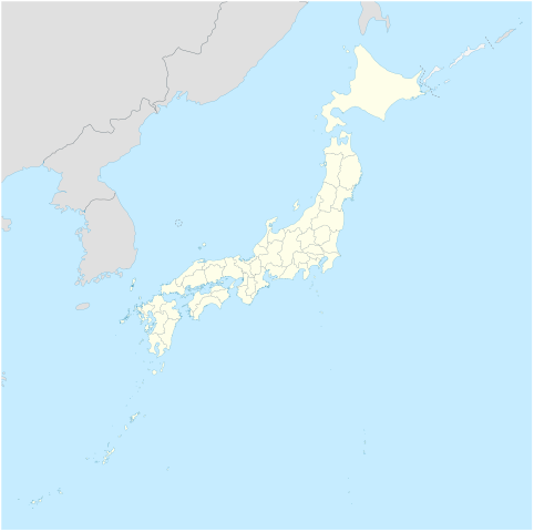
Deutsch: Postionskarte von Japan
Quadratische Plattkarte. Geographische Begrenzung der Karte:
English: Location map of Japan
Equirectangular projection. Geographic limits of the map:
|
||
| Petsa | |||
| Pinagkunan | own work, using Image:Japan_admin_levels.svg | ||
| Kagsurat | Maximilian Dörrbecker (Chumwa) | ||
| Pagtugot (Giraray na paggamit sa file) |
I, the copyright holder of this work, hereby publish it under the following licenses:
Nakalisensya an file na ini sa irarom kan lisensyang Creative Commons Attribution-Share Alike 3.0 Unported.
Pwede kang makapili nin lisensya mo. |
||
| Other versions |
Derivative works of this file: National Treasures of Japan (archaeological materials).png
|


.png)

|
This map has been made or improved in the German Kartenwerkstatt (Map Lab). You can propose maps to improve as well.
|
Kasaysayan kan file
Pinduton an sarong petsa/oras para mahiling ng file sa puntong idto.
| Petsa/Oras | Thumbnail | Sukol | Paragamit | Komento | |
|---|---|---|---|---|---|
| presente | 05:18, 14 Nobyembre 2020 | | 582 × 580 (707 KB) | AichiWikiFixer | Reverted to version as of 16:25, 5 April 2020 (UTC) |
| 05:18, 14 Nobyembre 2020 |  | 413 × 373 (980 KB) | AichiWikiFixer | Fix borders. | |
| 16:25, 5 Abril 2020 |  | 582 × 580 (707 KB) | NordNordWest | Reverted to version as of 10:32, 21 February 2013 (UTC); no discussion about this change; in this set of maps disputed areas are always shown in light grey | |
| 14:25, 5 Abril 2020 |  | 582 × 580 (726 KB) | Туча | Итуруп и Кунашир серым цветом | |
| 10:32, 21 Pebrero 2013 |  | 582 × 580 (707 KB) | NordNordWest | Reverted to version as of 13:56, 30 October 2010; no need to revert, no discussion for this | |
| 09:17, 21 Pebrero 2013 |  | 582 × 580 (1.21 MB) | Pauk | Reverted to version as of 01:23, 17 September 2010 | |
| 13:56, 30 Oktubre 2010 |  | 582 × 580 (707 KB) | NordNordWest | Liancourt Rocks boundary | |
| 01:23, 17 Setyembre 2010 |  | 582 × 580 (1.21 MB) | Dinamik | medium color for disputed territories | |
| 11:40, 21 Marso 2010 |  | 582 × 580 (1.18 MB) | Chumwa | Präfekturgrenzen bereinigt | |
| 09:55, 20 Marso 2010 |  | 582 × 580 (1.37 MB) | Chumwa | einige Inseln ergänzt und diverse Lagekorrekturen durchgeführt |
Paggamit sa file
Ginagamit kan minasunod na pahina an file na ini:
Pankinaban na paggamit sa file
Ginagamit kan mga minasunod na wiki an file na ini:
- Paggamit sa ba.wikipedia.org
- Paggamit sa bg.wikinews.org
- Paggamit sa crh.wikipedia.org
- Paggamit sa da.wikipedia.org
- Paggamit sa de.wikipedia.org
- Paggamit sa en.wikipedia.org
- Iwo Jima
- Cities designated by government ordinance of Japan
- Ogasawara, Tokyo
- Chichijima
- Hahajima
- Senhata, Akita
- Hiranai
- Hachijō-jima
- Yonaguni Monument
- North Iwo Jima
- South Iwo Jima
- Fukutoku-Okanoba
- Nishinoshima (Ogasawara)
- 2013–14 FIS Ski Jumping World Cup
- Wikipedia talk:WikiProject Geographical coordinates/Archive 29
- 2020 Summer Olympics torch relay
- Module:Location map/data/Japan complete
- Module:Location map/data/Japan complete/doc
- 2015 Ogasawara earthquake
- Chibusa Dam
- Nakōdo-jima
- Naval Base Iwo Jima
- User:Turbo Slayer 2021
- User:Mr J 2023
- 1931 Empress of Canada stabbings
- List of mass stabbing incidents (before 2010)
- Paggamit sa eo.wikipedia.org
- Paggamit sa es.wikipedia.org
Hilingon an kadagdagan na pankinaban na paggamit sa file na ini.